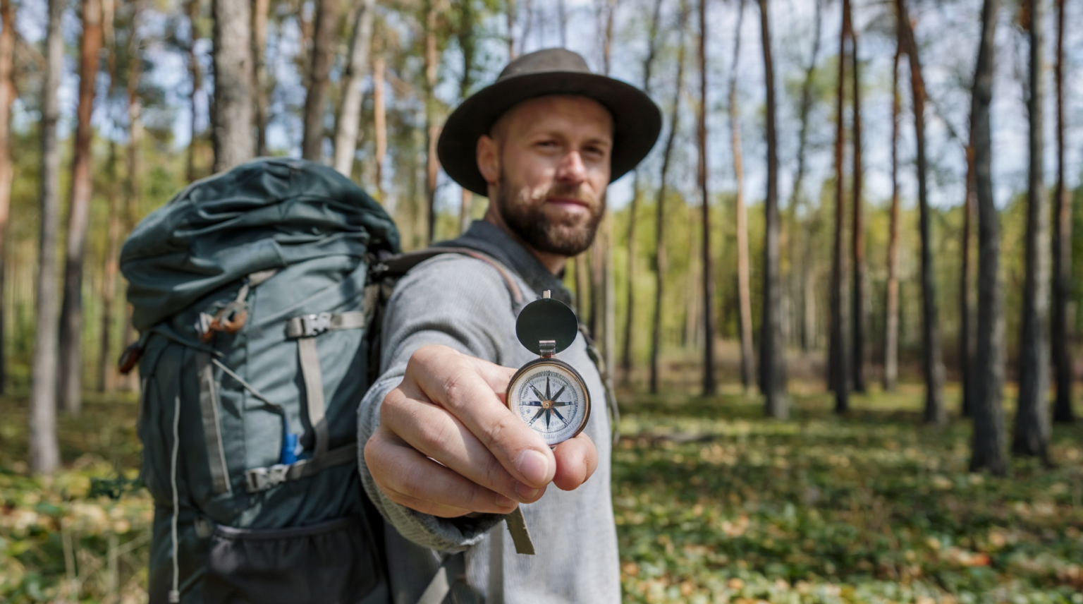
Why Navigation Skills Matter in the Wilderness
In today’s world, we’ve become heavily reliant on GPS devices and smartphone apps to guide us from one place to another. However, technology isn’t infallible. Batteries die, signals drop, and gadgets break.
When camping or hiking in the wilderness, where the stakes are higher, knowing how to navigate without technology can be the difference between finding your way or becoming disoriented.
Along with other camping skills, mastering traditional navigation skills with a map and compass can not only increase your confidence but also ensure you stay safe on your outdoor adventures. These time-tested tools are reliable, and once you learn how to use them, they’ll never fail you, no matter where your path may lead.
Choosing the Right Compass for Outdoor Adventures
A compass is your guiding light in the wilderness, but not all compasses are created equal. For campers and outdoor adventurers, a baseplate compass with a rotating bezel is the most practical choice. This type of compass is user-friendly and precise, making it ideal for navigation alongside a map.
Some baseplate compasses also come with additional features like magnifying glasses, rulers, or declination adjustments, which make them even more versatile.
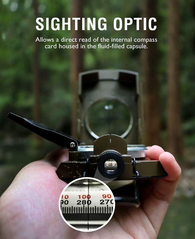
Measure angle, elevation, and avalanche hazards. Waterproof rugged aluminum alloy build means it can withstand extremely tough situations, due to its size, features, and military-level sturdiness.
4.6 star average review!
To understand your compass, you need to familiarize yourself with its key parts. The baseplate is the flat, transparent surface you’ll use for map reading. The rotating bezel, marked with degrees from 0 to 360, allows you to set bearings. Most importantly, the magnetic needle always points to magnetic north.
Keeping your compass clean and stored away from metallic objects helps maintain its accuracy, so it’s always ready to guide you when you need it.
Understanding the Basics of a Topographic Map
A topographic map is more than just a simple paper representation of the land—it’s a window into the terrain around you. Unlike a road map or city grid, topographic maps are designed to convey elevation, terrain features, and natural landmarks in great detail.
Contour lines, which represent elevation, are key to understanding these maps. The closer the lines are to each other, the steeper the terrain, while wider spaces indicate flatter ground.
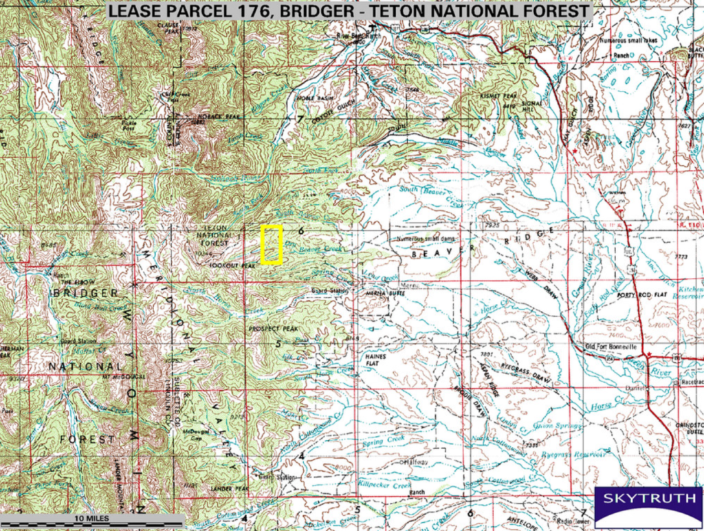
Symbols on the map show rivers, forests, trails, and man-made features like roads or campsites. Scale is another crucial element, telling you the ratio between distances on the map and in real life. For example, a 1:24,000 scale means one inch on the map equals 24,000 inches (or 2,000 feet) on the ground. Or, as shown in the example above, an indicator of a ten-mile scale is shown in the lower left-hand corner.
Reading a topographic map takes practice, but once you get the hang of it, you’ll be able to visualize the landscape before you even set foot on the trail.
How to Orient Your Map with a Compass
Orienting your map is the first step to understanding where you are in relation to your surroundings. To do this, align your compass with true north—this is slightly different from magnetic north, but your compass can be adjusted for declination (the difference between the two) if needed. Lay the compass on your map, ensuring the baseplate’s edge lines up with the north-south lines on the map.
Once your map is properly oriented, use landmarks like mountains, rivers, or valleys to match what you see on the map with what’s in front of you. This technique helps you visualize the terrain and find your location more easily.
Whether you’re in dense woods or atop a clear ridge, taking the time to orient your map can give you a clear sense of direction and minimize the chances of veering off course.
Using Bearings: The Key to Precision Navigation
A bearing is essentially a direction that helps you move precisely from one point to another. When you take a bearing on a map, you’re setting your course. To do this, place your compass on the map with the baseplate edge running from your current location to your destination. Rotate the bezel so that north on the compass lines up with north on the map, and then read the bearing at the index line.
Once you have your bearing, you can follow it in the field by lining up the magnetic needle with the direction of travel arrow on the compass. This method allows you to move in a straight line even if the terrain ahead is difficult or you need to move around obstacles. In tricky environments, like dense forests or foggy conditions, using bearings ensures you stay on track.
Plotting Location: Pinpointing Where You Are on the Map
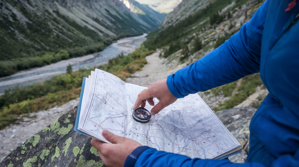
Sometimes, knowing exactly where you are on a map can be challenging, but there are reliable methods to pinpoint your position.
One technique is to use prominent landmarks—mountain peaks, rivers, or other easily identifiable features—and measure the direction to them with your compass. This is known as “triangulation.” By taking bearings to at least two landmarks and drawing lines from each to your map, the point where the lines intersect is your location.
Another useful technique is estimating distance based on your pace count or using map scales to judge how far you’ve traveled.
Plotting your location accurately takes practice, but it’s a critical skill when you need to check your position or make adjustments to your route.
Route Planning and Navigating Through Difficult Terrain
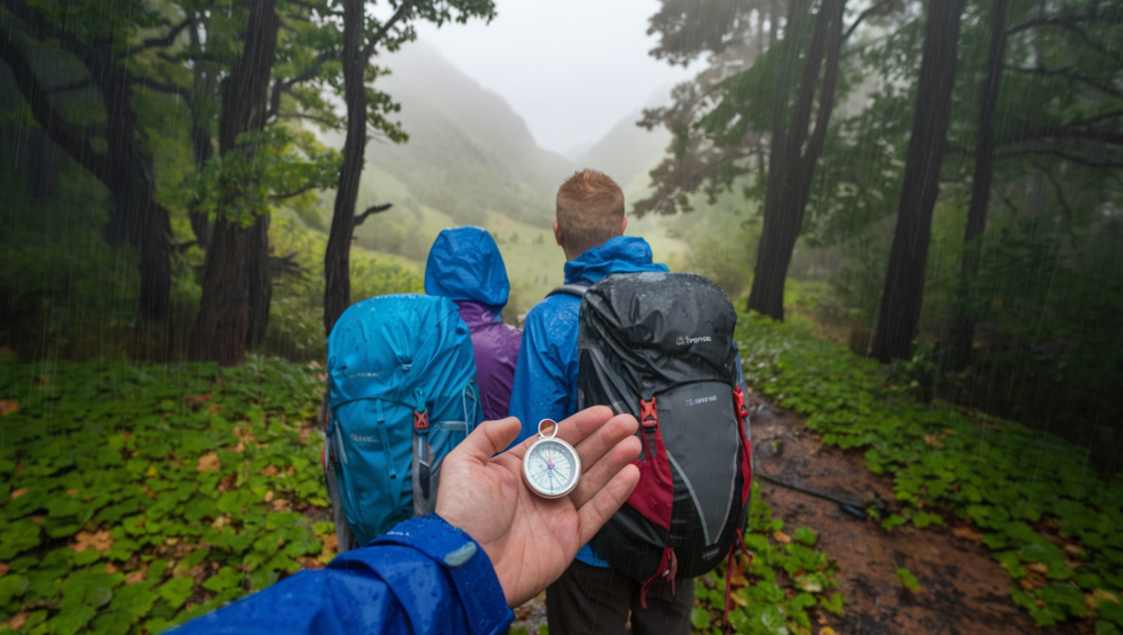
Effective route planning is more than just drawing a straight line from point A to point B. You need to consider the natural challenges you may face—rivers that need crossing, steep cliffs, or thick forests.
When plotting your route, look for safe and practical paths, such as ridges or valleys, which can guide you naturally through the landscape. Topographic maps will help you choose paths that minimize risk while keeping you on course.
In more difficult conditions, such as fog or heavy rain, you’ll need to rely even more on your compass and map-reading skills.
Taking frequent bearings and double-checking your location on the map can prevent you from getting lost. Adjusting your route to avoid impassable obstacles is also crucial for staying safe and efficient during your journey.
Troubleshooting Common Navigation Challenges
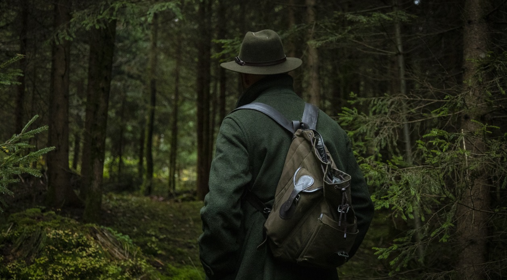
No matter how prepared you are, things can go wrong. If you lose track of your position, the first step is to stay calm and reassess your situation. Try to locate a nearby landmark and orient your map. If that fails, backtrack to the last known point where you were sure of your location.
Another common issue is magnetic declination, which can cause your compass to point slightly off from true north. Knowing the declination for the area you’re navigating in allows you to adjust your compass accordingly.
Lastly, mental clarity is just as important as technical skills when it comes to navigation—staying calm under pressure helps you think critically and solve problems on the go.
Building Confidence with Map and Compass Skills
There’s a unique peace of mind that comes with mastering navigation skills. Knowing how to use a map and compass allows you to confidently explore the wilderness, free from reliance on technology. When combined with acquiring wilderness first aid skills, every journey becomes something to enjoy, not to fear.
Like any skill, practice is key. Before heading into the wild, take time to hone your abilities in familiar settings. Over time, these skills will become second nature, giving you the freedom to trek further, explore deeper, and fully immerse yourself in the beauty of the outdoors.
For those who wish to deepen their knowledge, numerous resources and advanced courses can help you elevate your navigation expertise to the next level. If you want to quickly graduate from beginner to intermediate and beyond, I would recommend the full 82-page course PDF from the National Wildlife Coordinating Group.
See Our Latest Posts
- 21 Fun Camping Games to Entertain Yourself Outdoors
- How to Set Up a Hammock for Camping
- Compact Camping Gear That Saves Space in Your RV or Van
- Top 15 Most Beautiful Waterfalls In The World To Visit In Your Lifetime
- Top 12 Camping Gadgets and Accessories You Didn’t Know You Needed (2025)
Write A Guest Post For Us!
Are you passionate about camping and the great outdoors?
We’re excited to announce that we’re accepting guest posts
in the camping and outdoor niche!

